Skip to content
HuayhuashTrek Perú · Rocío & family

Cordillera Blanca · Multi-day trek

Santa Cruz Trek: 4-Day Classic Route

The four-day Santa Cruz Trek crosses the heart of the Cordillera Blanca, passing turquoise glacial lakes, the snow-covered walls of Alpamayo and Taulliraju, and Punta Unión Pass at 4,750 metres.

$700per person · 2027 season
Duration
4 days / 3 nights
Max altitude
4,750 m
Punta Unión Pass
Distance
≈ 45 km
Difficulty
Demanding
Start / end
Huaraz → Huaraz
Best season
May–September

Overview

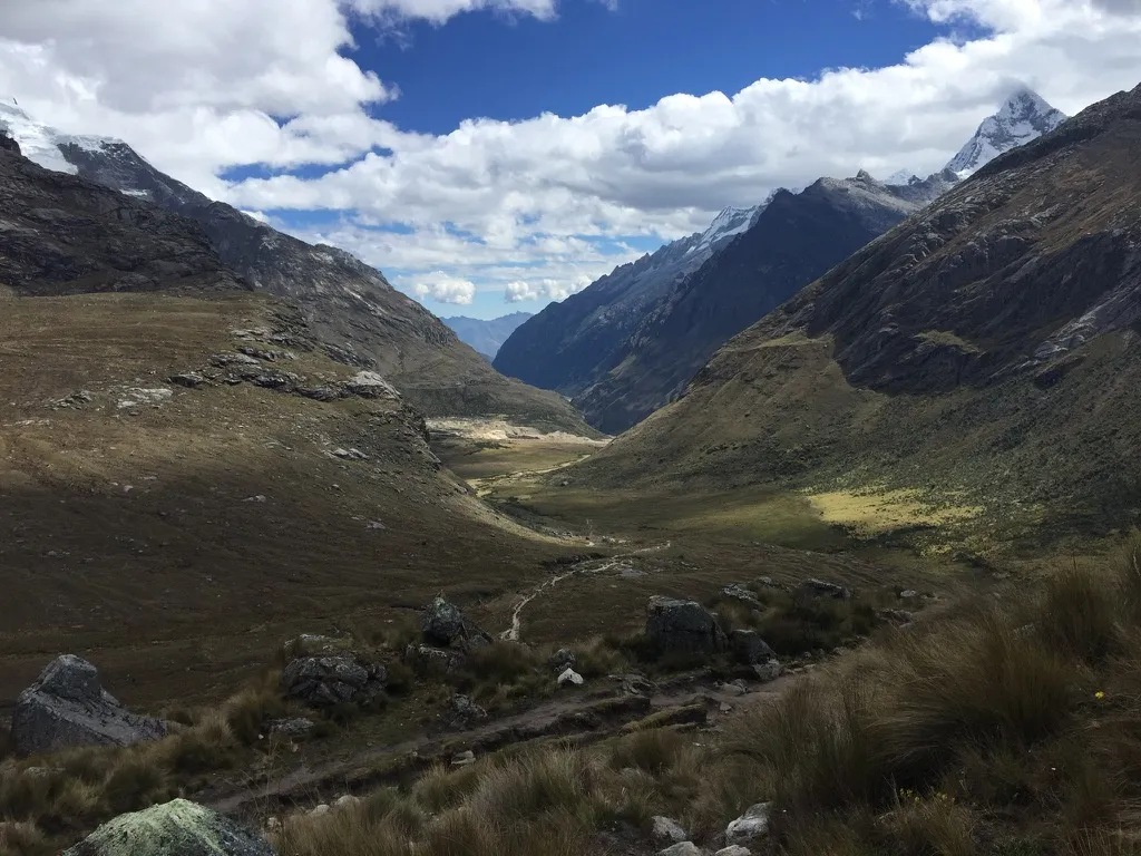
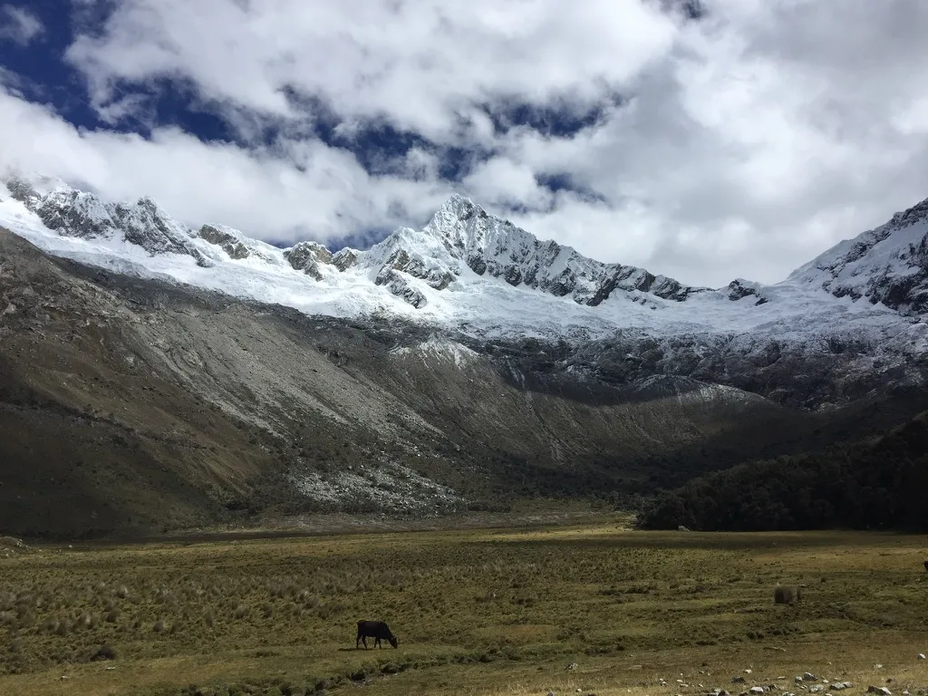
Inside Huascarán National Park, the Santa Cruz Trek follows an ancient mountain route between Vaquería and Cashapampa. Over four days, the trail winds through Quechua villages, open valleys and high alpine camps surrounded by some of Peru’s best-known peaks.

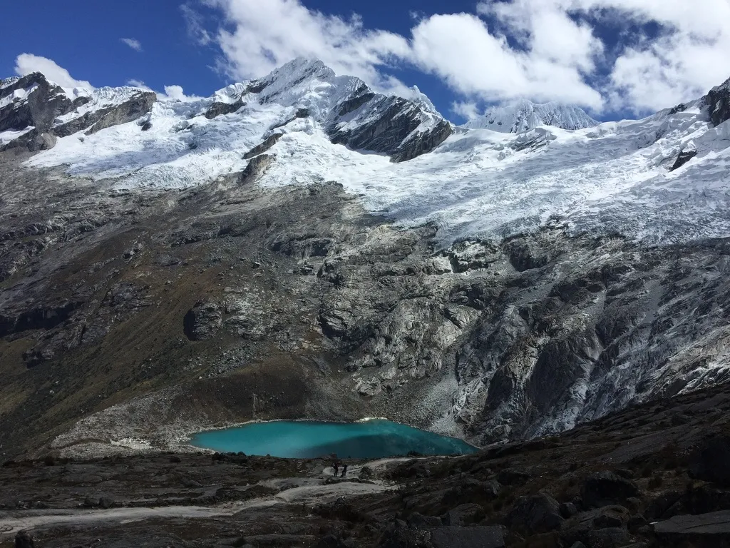
The crossing of Punta Unión (4,750 m) is the centrepiece of the trek. From the narrow pass, the Santa Cruz valley stretches west beneath the rock and ice walls of Taulliraju. Further along the route, an optional side trail leads towards Laguna Arhuaycocha and the pyramidal summit of Alpamayo.

We spend three nights camping in the mountains, with meals prepared at camp and pack animals carrying the camping equipment. The route is moderate to challenging, with a long ascent to the pass on day 2.

The itinerary follows the Vaquería → Cashapampa direction. The trek covers approximately 45 km, or up to 52 km with the Arhuaycocha detour. Daily distances are approximate and depend on the campsite locations and the optional excursion. The altitude profile shows walking stages, including the optional day 3 detour; it excludes the vehicle crossing of Portachuelo de Llanganuco.
Highlights

  • Cross Punta Unión Pass (4,750 m), with views of Taulliraju and the Santa Cruz valley.
  • Take the optional side trail to Laguna Arhuaycocha beneath Alpamayo.
  • Walk beside Lagunas Jatuncocha and Ichiccocha.
  • Camp in the high valleys of Paria, Taullipampa and Llamacorral.
  • Travel past the Llanganuco lakes and beneath Huascarán on the drive to Vaquería.

Day by day

Elevation profileCamps and high passes, day by day.
3,5004,0004,5005,0003,870Paria4,750Punta Unión4,450Arhuaycocha3,760LlamacorralDay 1Day 2Day 3Day 4
  1. 1

    Day 1

    Huaraz → Vaquería → Paria

    • 10–11 km
    • 4–5 hours walking
    • High point:Paria3,870 m
    • Camp:Paria3,870 m

    An early departure from Huaraz takes us north through the Callejón de Huaylas, past the turquoise Llanganuco lakes and over Portachuelo de Llanganuco (4,767 m). From Vaquería (approximately 3,700 m), we descend through small Quechua villages before following the green Huaripampa valley towards Paria. We spend the first night beside the river and high Andean pastures, at approximately 3,850–3,870 m.

    The Portachuelo pass is crossed by vehicle, before the walk begins. Allow approximately 4–5 hours for the drive. The day's highest point on foot is approximately 3,870 m.

  2. 2

    Day 2

    Paria → Punta Unión → Taullipampa

    • 11–13 km
    • 7–8 hours walking
    • High point:Punta Unión4,750 m
    • Camp:Taullipampa4,250 m

    The most demanding day begins with a steady climb through the upper Huaripampa valley. Rocky switchbacks lead to Punta Unión Pass (4,750 m), where the jagged summit of Taulliraju rises above glaciers, peaks and turquoise water. After a rest at the pass, we descend past Laguna Taullicocha into the Santa Cruz valley, reaching our highest campsite at Taullipampa (4,250 m).

  3. 3

    Day 3

    Taullipampa → Arhuaycocha → Llamacorral

    • 18–20 km
    • 8–9 hours walking with detour
    • High point:Arhuaycocha4,450 m
    • Camp:Llamacorral3,760 m

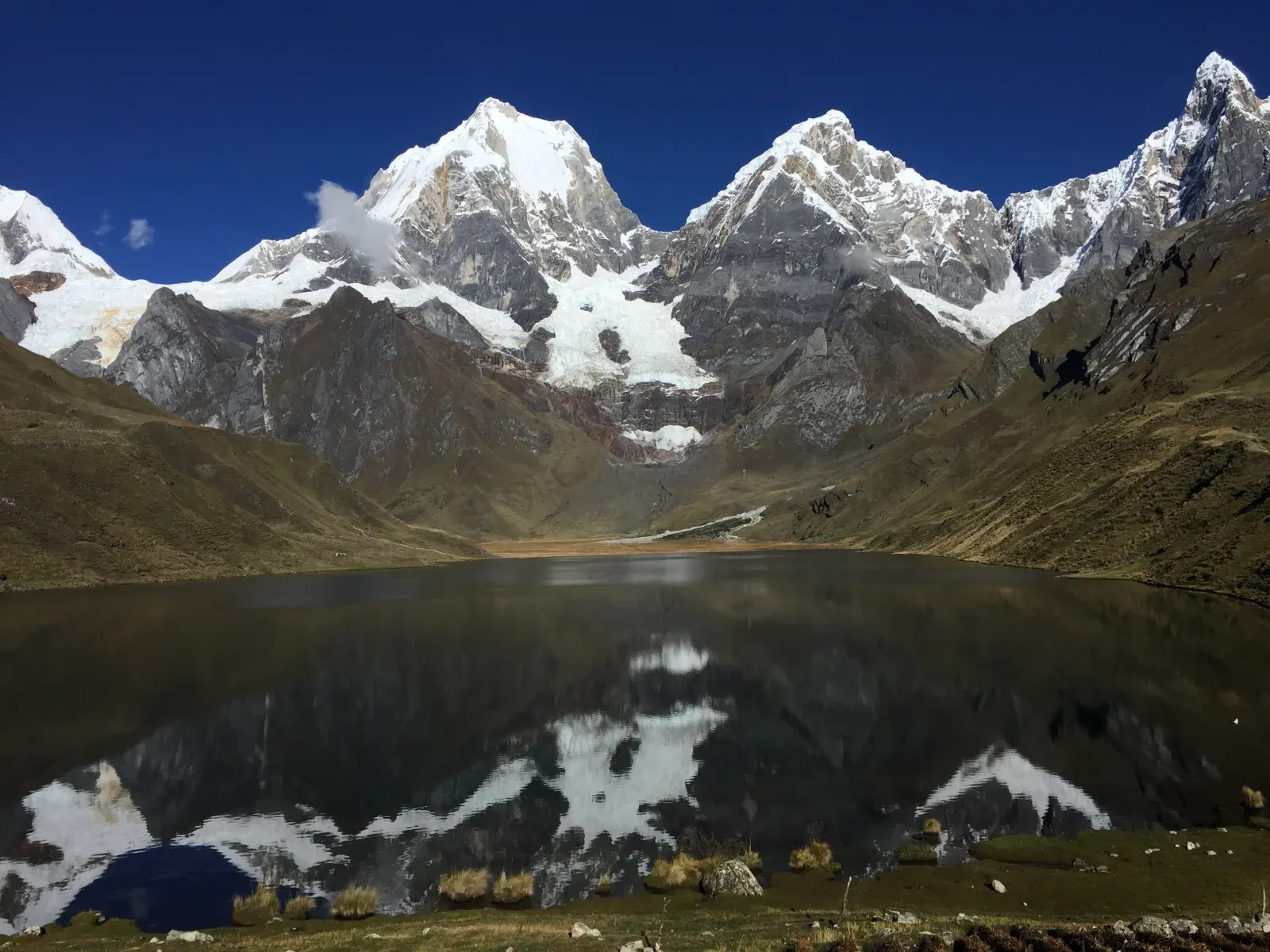
    We begin with an optional climb into the Arhuaycocha valley, where Laguna Arhuaycocha lies beneath the glaciers of Alpamayo and Quitaraju, at approximately 4,420–4,450 m. Returning to the main trail, we descend the broad Santa Cruz valley, passing the blue-green waters of Jatuncocha and Ichiccocha. The day ends at Llamacorral, a camp beside the river at approximately 3,750–3,760 m.

    The 18–20 km distance and 8–9 hours of walking include the Arhuaycocha excursion. Without it, the direct walk is approximately 13–14 km and takes 5–6 hours. Confirm the turnaround point with Rocío when planning your trek, as it affects the final distance and walking time.

  4. 4

    Day 4

    Llamacorral → Cashapampa → Huaraz

    • 9–10 km
    • 3–4 hours walking
    • High point:Llamacorral3,760 m

    Our final morning follows the Santa Cruz River downstream through a narrowing gorge. The trail descends past steep granite walls, scattered waterfalls and changing vegetation as we leave the high mountains behind. At Cashapampa (2,900 m), our vehicle meets us for the return through Caraz to Huaraz, approximately three hours by road. There is no mountain camp tonight.

Prices

Price per person in US dollars, depending on group size.

Group sizePrice per person
1+ people$700

Other treks

Snow peaks of the Cordillera Huayhuash reflected in a still laguna under a deep-blue skyCordillera Huayhuash5,050 m
8 trek days / 7 camp nightsChallenging

Huayhuash Classic

Eight days on the Huayhuash circuit with our guide, cook and arrieros. Camp, meals, pack donkeys and transport from Huaraz are included; arrange your own Huaraz stay and acclimatisation.

$1,300 per person

Snow peaks of the Cordillera Huayhuash reflected in a still laguna under a deep-blue skyCordillera Huayhuash5,050 m
8 trek days + 3 nights in HuarazChallenging

Huayhuash Experience

Your Huaraz stay, guided acclimatisation and eight-day Huayhuash trek, with arrival and departure transfers, private trailhead transport and equipment included.

$2,200 per person